|
|
|
COMUNE DI LATINA
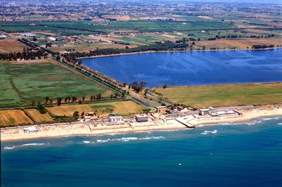 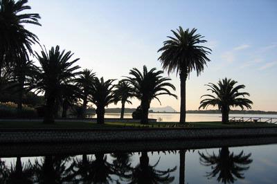 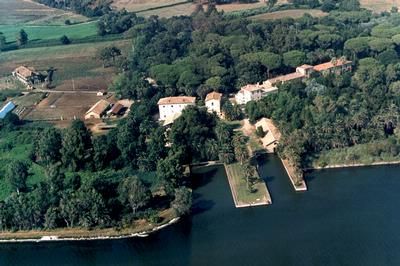 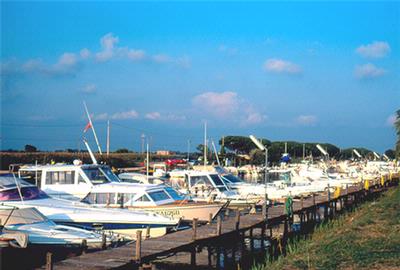 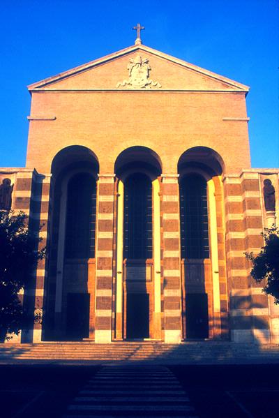    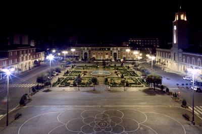 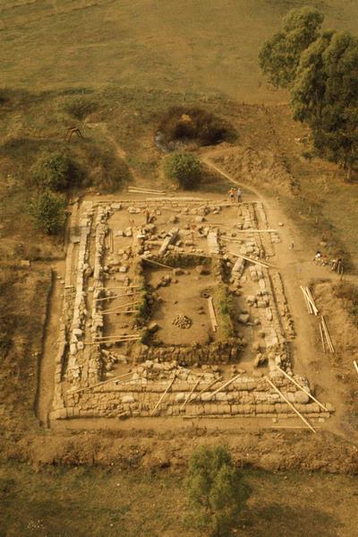 The provincial capital is surrounded by many suburbs, the first areas to be built up after the reclamation of the region, which are named after famous World War One sites. Despite the fact that Latina is a relatively new town, its territory comprises historic ruins: along the Appian Way are the ancient Roman stationes or inns at Tripontium and Forum Appii, which are mentioned in Horace’s Satires (I,5), Roma incscriptions and epigraphs on various bridges and parapets, as well as signs of Pope Pius VI’s reclamation work such as the beautiful 18th century Church of S.Paolo at Tor Tre Ponti. Since latina is situated in the middle of a hilly region along the sea, its touristica area lies along the broad seaside that extends from the mouth of the Astura river to the mouth of the Rio Martino. The eastern section lies in the Circeo National Park, which boasts the important oasis of Fogliano, with the 400-hectare coastal lake, the English Villa, the Botanic Garden, and the facilities that promote interest in, and the study of, the environment. Borgo Sabotino to the west and Borgo Grappa to the east, are the “urban poles” of this tourist area, which will be completed by the remains of the Italic city of Satricum, at Bor-go Montello-Le Ferriere, where you can also visit the famous Casa del Martirio di S.Maria Goretti (the House of the Martyrdom) where she was killed on 6 july 1902 PORTS – BERTHING - DOCKS FOCEVERDE (quay/pontoon) - coordinates 41°24' 70 N, 12°48' 87 E. - RIO MAR-TINO (canal port) - coordinates 41°22' 80 N, 12°55' 15 E. Located south of the Torre di Foceverde, with floating pontoons managed by a private company. Seabed: muddy - Depth: 1.5 m in the middle of the canal, 1 m on sides; - 1-5 m. at quay – Boat berths: 100 - Max. length: 8 m. Beach Delegation of Sabaudia, Via Principe di Piemonte snc, tel. 0773515802 - e-mail: sabaudia@guardiacostiera.it |
|
La Riviera d'Ulisse - Ente Turistico di Terzo Settore
Servizio IAT - Informazione ed Assistenza al Turista Largo Jacopo Peri, 70 - Latina - tel. 0773480672 - 0773484502 - 06/69281723 www.larivieradulisse.it - www.larivieradulisse.it - www.latinaeventi.it - info@latinaturismo.it a cura di Cooperiamo Insieme Cooperativa Sociale P.I. 02812020598 |
|
powered by iper.net |
|
